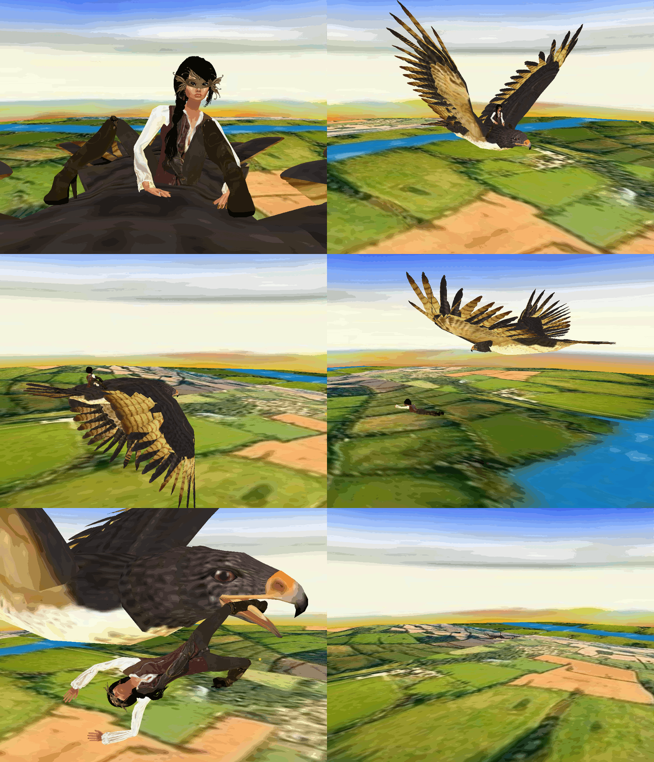
"Sunrise Flight over Hertfordshire, England"
This is a real aerial photo of Hertford that is at the confluence of four river valleys: the Rib, Beane and Mimram join the River Lea at Hertford to flow south toward the Thames as the Lee Navigation, after Hertford Castle Weir.The shared valley of the Lea and the Beane is called Hartham Common and this provides a large park to one side of the town centre running towards Ware and lying below the ridge upon which Bengeo is situated.
Hartham Common
~ Relax, Invite a Friend for Peaceful Flight or Be Silly in Great Spots. ~

~ The town centre still follows the medieval layout with many -framed buildings hidden under later frontages, particularly in St Andrew Street. Hertford suffers from traffic problems despite the existence of the 1960s A414 bypass called Gascoyne Way which passes close to the town centre. Plans have for long existed to connect the A10 with the A414, by-passing the town completely. Nevertheless, the town retains very much a country-town feel, despite lying only 19.2 miles (30.9 km) north of Central London. This is aided by its proximity to larger towns such as Harlow, Bishop's Stortford and Stevenage where modern development has been focused.
Slide show artwork little distorted but not in room so very realist unbelievable and peaceful~
~ RELATED PRODUCTS COMING HERE SOON
~ BANNER COMING HERE SOON ~

~ Legal Statement and Copy Rights Coming Soon~

